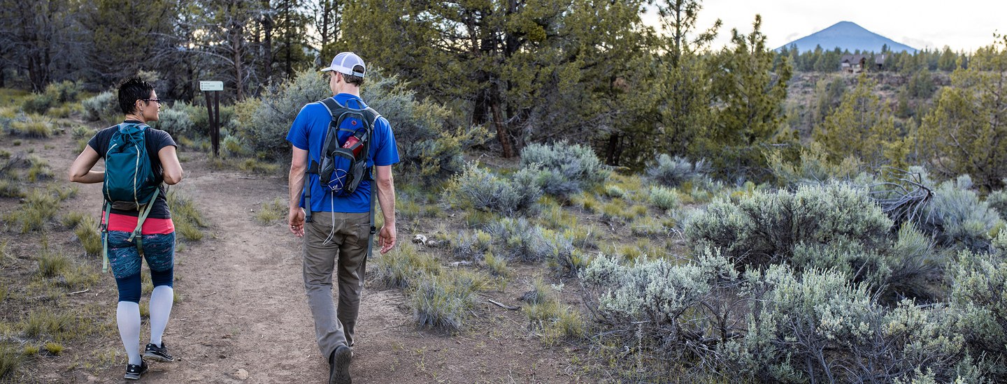
There is much to be explored at Whychus Canyon Preserve! With scenic viewpoints, the rushing cold waters of Whychus Creek, and the historic Santiam Wagon Road, you will have to make several trips to see everything. Here are a few ideas and a trail map to get you started:
Wagon Road and Meadow Loop
This route follows a portion of the historic Santiam Wagon Road. Interpretive signs along the way share the story of the Wagon Road east of the Cascades and the role it played in the settlement of Central Oregon. This fairly flat trail is lovely in the spring when desert wildflowers begin to bloom.
From the trailhead, follow signs to Wagon Road + Meadow Trails. When you see a Santiam Wagon Road interpretive sign on the right, veer off of the road and follow the dirt Wagon Road Trail. After 1.1 miles, you’ll reach a junction. Turn left and follow the trail through juniper and pine forest until you reach another junction after 0.4 miles. Turn left to continue on the Meadow Trail 1 mile back to the trailhead. Trail details: 2.5 mile loop on rocky, historic road and narrow (<36") natural surface trails.
Long Canyon Route
Head down into the canyon to Whychus Creek, then stroll along the creek before heading back to the top of the canyon. This beautiful hike is challenging and involves steep trails with 300 feet of elevation gain/loss. Enjoy stunning displays of spring wildflowers, mountain views, and tranquil creekside breaks.
From the trailhead, follow signs to Rim + Creek Trails. At the first junction, turn left and walk .3 mile to a stone bench and overlook. The trail will begin to head down into the canyon for .8 miles. You’ll reach an intersection midway down the slope. Follow signs for the Creek Trail to reach the valley floor and walk downstream along Whychus Creek for 0.8 miles. At the next junction, continue straight through a sagebrush meadow for another 0.7 miles. The trail will then turn and begin to climb out of the canyon. Enjoy another scenic overlook before reaching the next junction at the top of the canyon. Follow signs for Meadow Trails and Trailhead for 1.5 miles back to the trailhead. Trail details: 4.9 mile loop on narrow (<36") natural surface trails. Significant (300') elevation gain and loss. Steep terrain and/or rocky stair sections.
Mid Canyon Route
This route is for those looking for a quicker route that still dips into the Whychus Creek canyon without all the elevation gain/loss. Enjoy stunning displays of spring wildflowers and mountain views with 150 feet of elevation gain/loss.
From the trailhead, follow signs to Rim + Creek Trails. At the first junction, turn right and head down a steep route into the canyon for 0.4 miles. At the next junction, follow signs for the Rim Trail and turn right. After 0.7 miles along a rolling mid-canyon trail, you will reach a scenic overlook and bench with views into the northern portion of Whychus Canyon Preserve. Continue past the overlook to the next junction and turn right. After 0.2 miles you’ll reach another intersection. Turn left to add a quick 0.4 mile detour to another overlook. Or, turn right and follow signs for Meadow Trails and Trailhead for 1.5 miles back to the trailhead. Trail details: 3.0 mile loop on narrow (<36") natural surface trails. Moderate (150') elevation gain and loss. Steep terrain and/or rocky stair sections.
Learn more:
- Other Land Trust Community Preserve suggested routes
- Whychus Canyon Preserve information, including driving directions and maps