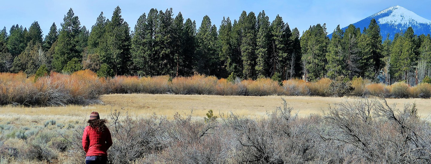
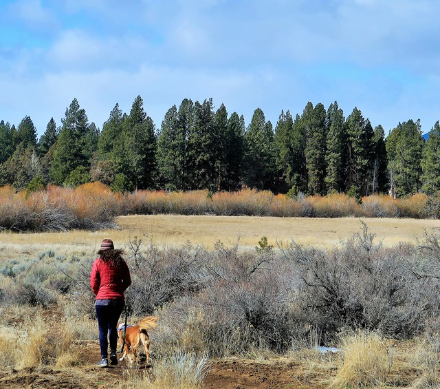
Join the Deschutes Land Trust and Daniele McKay for a geology hike at Aspen Hollow Preserve. Learn about the volcanic forces that formed Central Oregon while taking in beautiful views of the Three Sisters. Hike down into the canyon formed by Whychus Creek to explore mixed pine and juniper forest and meadow. See if you can spot the golden eagle nest among the amazing columnar basalt cliffs while you learn about the geologic history of the Preserve and our region. Registration is required and opens 1 month prior to the event.
-
Outing Details + Route
Hike Rating: This is a moderate ~2 mile hike.
Route: This hike will start at the canyon rim and follow a gravel road into the canyon and a cinder trail as you walk along the creek. Terrain will be uneven at times.
Elevation gain/loss: This hike is moderate with ~225' elevation gain/loss.
-
What to Bring
Snacks/dinner, water, closed toe shoes. Dress for the weather.
-
About the Property
The Deschutes Land Trust acquired and protected the 58 acre Aspen Hollow Preserve in 2015. The Preserve includes 1/2 mile of Whychus Creek, rimrock cliffs, as well as pine and aspen stands, and is located outside of Sisters, Oregon. Aspen Hollow Preserve is home to a host of wildlife species including salmon and steelhead, mule deer, rocky mountain elk, golden eagles, spotted bat and numerous songbirds.
-
Accessibility
The Land Trust is working to make our Walks + Hikes as accessible as possible. Please let us know at least one week in advance if there is something we can do or provide to support you in participating in this outing to the fullest and we will accommodate as possible.


