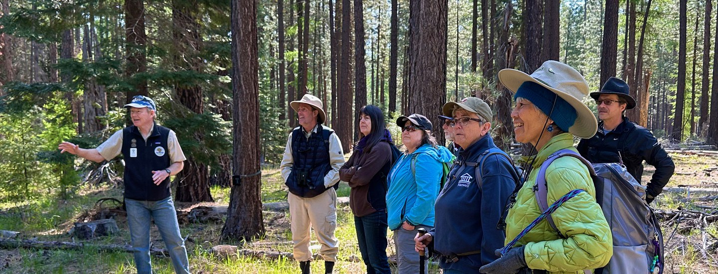
Join the Deschutes Land Trust and Tom Wainwright for a summer hike to learn about the plants of the Metolius Preserve. Explore the unique transition zone where wet westside and dry eastside plants converge in the forests of the Metolius Preserve. Learn how differences in geography, geology, and soils determine conditions for the rich diversity of plant life at the Preserve. Registration is required and opens 1 month prior to the event.
-
Outing Details + Route
Hike Rating: This is an easy 3-4 mile hike on Preserve trails.
Route: This hike will start at the North Trailhead of the Metolius Preserve and follow Preserve trails. Terrain will be uneven at times.
Elevation gain/loss: There is very little elevation gain/loss on this hike.
-
What to Bring
Snacks/lunch, water, closed toe shoes. Dress for the weather.
-
About the Property
The Metolius Preserve is a 1,240 acre forested Preserve near Camp Sherman, Oregon. The Deschutes Land Trust established the Preserve in 2003. The Preserve contains mature ponderosa pine, Douglas fir, and western larch, as well as a rich diversity of other plant species. Three miles of Lake Creek, an important tributary to the Metolius River, flow through the property, contributing to the rich habitat found on the Preserve.
-
Accessibility
The Land Trust is working to make our Walks + Hikes as accessible as possible. Please let us know at least one week in advance if there is something we can do or provide to support you in participating in this outing to the fullest and we will accommodate as possible.