Self-Guided Metolius Preserve Winter Wandering
With more than 10 miles of trails, the Metolius Preserve is a great place to spend the day outside, whether the weather is clear or snowy!
Start at the North Trailhead or South Trailhead, but be sure to check road conditions first (not all roads are plowed in the winter!). The trails are open year-round, whether there's snow or not. Once the snow does fly, one thing is for sure: you'll be guaranteed fresh tracks! Find driving directions, trail maps, and more detailed Preserve information.
Here are some ideas and a trail map to get you started:
Becky Johnson Interpretive Area Wander
Located at the South Trailhead, the Becky Johnson Interpretive Area has a covered kiosk, wooden benches, interpretive signs, and viewing platforms along Lake Creek. A short, mostly flat, loose gravel trail wanders through the forest with shady stops at creekside viewing platforms where you can learn about sockeye salmon, songbirds, and other wildlife of the Preserve. Trail details: 0.2 mile (one-way), mostly flat, wide (>36"), loose gravel trail.
Larch Trail Loop
This route takes visitors through one of the most diverse sections of the Metolius Preserve. Discover a unique combination of wetter plants and trees from the west side of the Cascades, along with drier eastern Cascade vegetation. Enjoy spectacular larch trees, lush creekside plants, soaring ponderosa pines, and summer wildflowers. This flat trail is a gorgeous spot for cross country skiing and snoeshoeing. Trail details: 2.5 mile loop on mostly flat, natural surface trails of variable width (some portions <36", others >36" along old roads).
Fir Trail Loop
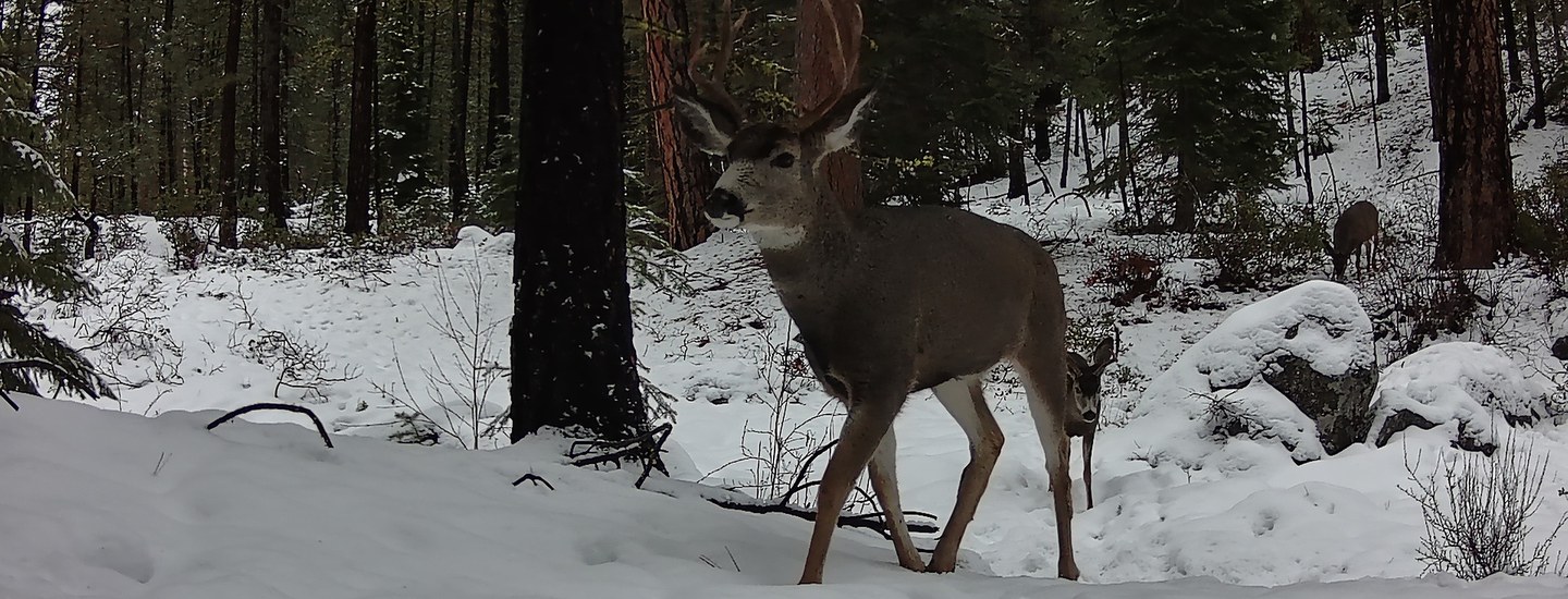
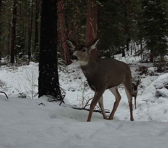
This loop offers a nice variety of rolling terrain. Watch for late foraging wildlife, and take in the still and quiet this time of year brings. Trail details: 2.4 mile loop on predominately natural surface/gravel trails of variable width (some portions <36", others >36" along old roads). Some small elevation gain/loss.
Learn more about the Metolius Preserve!