As a young person arriving from the Midwest and new to Oregon I discovered the Metolius River on a gray April day some fifty years ago. I will never forget standing alone on the Metolius River bridge at Camp Sherman and watching the clear dark river sweep abound a bend, break into several white water riffles and pass under the bridge. In the shadows under the bridge were large rainbow trout holding head up stream in the shallow water, drifting from side to side moving with the current. Their color was subdued and blended with the polished rocks of the riverbed. As I watched the river and trout I realized I wanted to live near here some day, near the cold clear waters of this stunning river. The Metolius, born of pure western springs, transfixed me.
Oregon’s Central Oregon Metolius River is unique in its origin and setting. It rises as a series of clear cold springs from the base of the 6,436-foot tall volcanic cinder cone called Black Butte. Emerging at an elevation of exactly 3,000 feet from the Metolius Springs with a year round temperature of forty-eight degrees, the Metolius flows north in a valley some five miles wide and fifteen miles long. It is bounded to the east by the 4,660-foot high tree covered basalt formation of Green Ridge. To the west the slopes of Three Fingered Jack and Mt. Jefferson form the western boundary of this treasured forested pristine river valley.
The pure waters of the Metolius do not come directly from surface rainwater or snow melt but from a number of springs and spring creeks that have their origin in the winter snows and summer storms in the Cascades. The waters that form the Metolius flow eastward underground through the porous volcanic rock of Central Oregon until emerging along the west side of the river as a series of spring creeks renowned for their clarity. Lake Creek, Spring Creek, First Creek, Jack Creek, Canyon Creek, Abbott Creek and Candle Creek all contribute to the ever-widening cold waters of the Metolius.
The Metolius is not a long river, only twenty-three miles in length from its humble beginning at the base of Black Butte. Flowing north along Green Ridge then turning east around the Horn of the Metolius, the river ends in the waters of the Lake
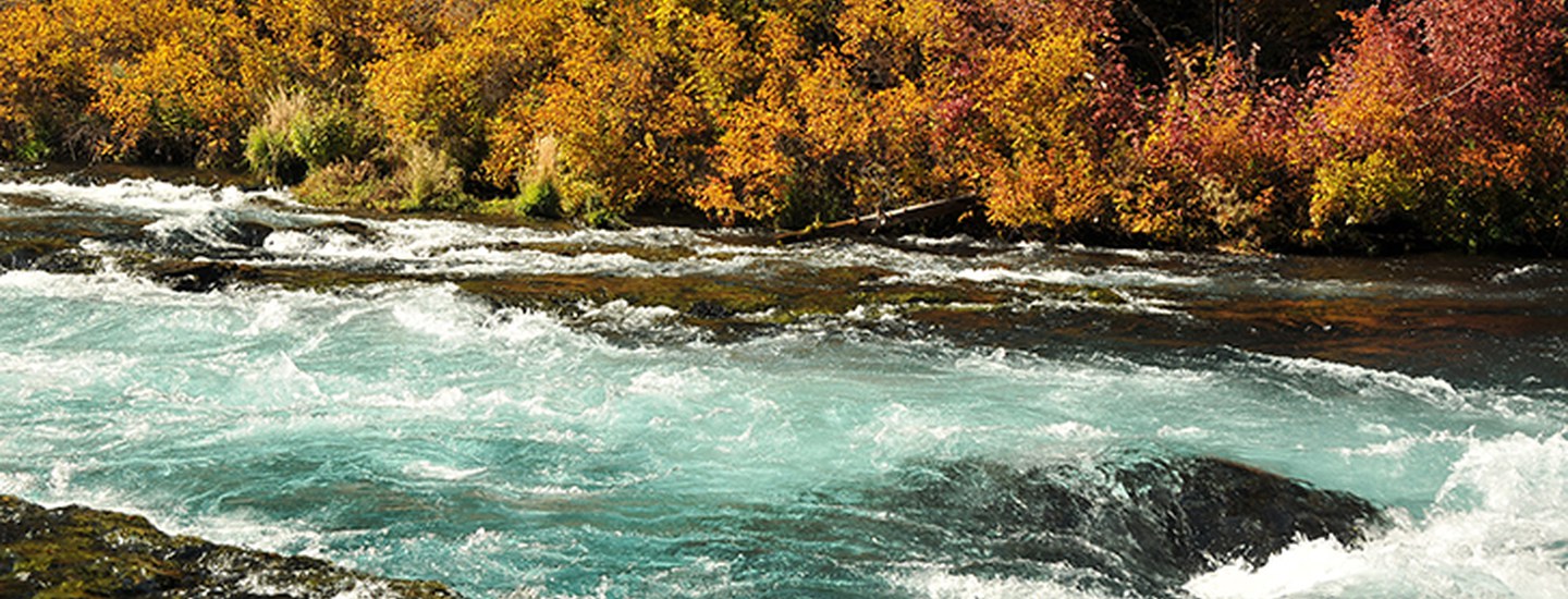
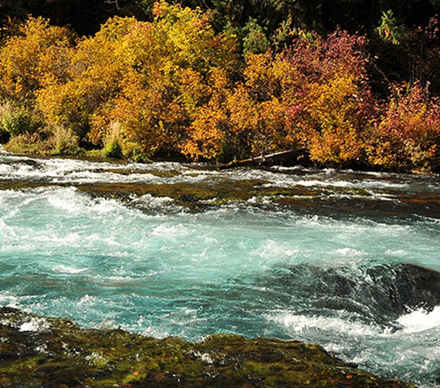
Billy Chinook. For the first five miles the Metolius is a small somewhat meandering river that passes through meadows, woodlands and by six forest service campgrounds. From Canyon Creek to Lower Bridge, a distance of about five miles, the Metolius changes character and frequently becomes a white water river with class two and three rapids. Beyond Lower Bridge the Metolius is a designated Wild and Scenic river in a deep rugged forested canyon. 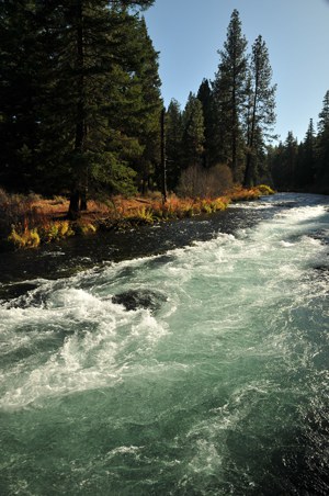
The name, Metolius, originated from the Warm Springs Indian language word, Met-toe-las, meaning white fish for colored salmon. This is not the same meaning as whitefish. There are whitefish in the Metolius as well as native redside, rainbow trout, brook trout, brown trout, bull trout and kokanee, a form of land-locked sockeye salmon.
The Metolius River has been for many generations a source of recreation, rest and
reflection. It is one of the finest and most challenging dry fly-fishing waters in the West. The water is clear. The cover is sparse. The hatches are many. The competitions for catching the elusive trout are many. It is a valued unique environmental resource. Efforts to protect the Metolius River and the surrounding Metolius Basin have a long history shared by many.
John Randolph, a fly fisherman and writer has said, “Spring Creeks are the crown jewels of the North American trout streams. They are small beautiful places. Their welfare requires special handling.” Good rivers need good friends and fortunately the Metolius River has many. In 1971 the family of Oregon State Senator, Sam Johnson, donated property at the Metolius Springs Headwaters as a scenic public park.
In 1986 the Metolius River was designated by the United States Congress as a National Wild and Scenic River. In 1988 the Save the Metolius organization sought designation of the Metolius Basin as a National Conservation Area. The Deschutes National Forest established the Metolius Conservation Area in 1990. The Friends of the Metolius organization now monitors the Forest Service Land Resource Management plan for the Metolius River and Basin and several other local groups work to conserve and protect resources in the region. In 2003, the Deschutes Land Trust established the Metolius Preserve, a nature preserve on the land once zoned for a destination resort.
On July 15, 2009, on the bridge over the Metolius River at Wizard Falls, Oregon Governor Ted Kulongoski signed the Metolius Preservation Act. The act prohibits destination resorts in the region. It establishes a boundary to the Metolius watershed that protects the ground water, springs and tributaries as a special preserve protected forever.
All those who know, value and cherish the beauty of this unique spring fed wild and scenic river are indeed the Friends of the Metolius. The Metolius is one of the finest, clear, cold, free flowing trout streams in America. Those who know the Metolius know it is a river like no other.
For the last sixteen years I have lived a few miles from Camp Sherman and the Metolius River. There was a time when I attempted to fish for the elusive rainbow redside trout in the deceptively clear waters of the Metolius. In the half-light of summer evenings I would cast again and again without success until dark. I eventually realized I was more interested in capturing the experience of fleeting moments along the river than in catching fish. It was my mind’s eye images of the filtered blue gray light at dusk and the dark cobalt blue water that I remembered and treasured. I became a photographer of the Metolius. I have been transformed by this free flowing river, by these ever appealing pristine home waters.
Byron Dudley is a Land Trust supporter and volunteer.
Learn more:
- About the Land Trust's Metolius Preserve.
- About the Land Trust's Metolius River Preserve.