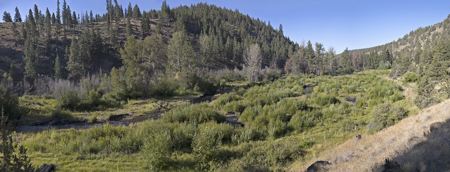
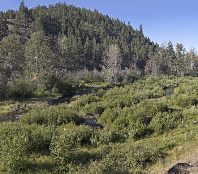
Back in 2016, the Land Trust, working alongside multiple partners, completed the first phase of restoration on Whychus Creek at Whychus Canyon Preserve. With the goal of improving habitat in and around the creek for fish and wildlife, approximately 1.5 miles of the creek was restored in this phase of work. After four years, how is the restoration looking and what is the data showing? What are some of the indicators we can use to know how successful a restoration project has been? Let’s take a look!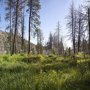
Groundwater depth has been calculated by averaging the depth across a number of groundwater monitoring wells within the restoration project. Back in 2015, the average depth was 6.1 feet. In 2018 and 2019, the average depth was 1.4 feet. That’s quite a difference! We can also visually see this change since the valley floor stays green and lush throughout the summer.
Total Channel Length. For the most part, prior to restoration Whychus Creek used to be one channel. Post-restoration, we hoped that the creek would become more diverse, with multiple channels of various sizes crisscrossing, meeting back up, and running across the valley floor. What does this do? Multiple, diverse channels retain more nutrients in the water and on the valley floor following a flood, increase habitat for fish, and expand the amount of vegetation along stream banks (which in turn provides more food and shelter for songbirds, deer, elk, and other land mammals). Basically, multiple channels that are able to access the valley floor create the conditions that are necessary to bolster the foundation of the aquatic food web.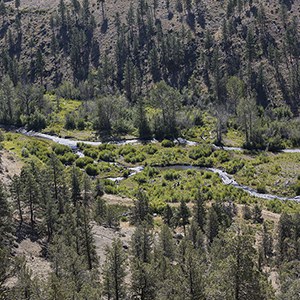
Complex Habitat. There is a wide variety of habitats that different aquatic creatures need in our creeks and rivers. With this restoration project, we wanted to increase the number of types of habitats available, from still pools to gushing rapids to riffles (a rocky or shallow part of a stream with rough water). In essence, an appropriate condition for Whychus Creek at the restoration area would be a mix of slow water and fast water habitats. This increases the number of different types of aquatic creatures that can call Whychus Creek home.
When we look at having more complex habitat, we look at the number of habitats in this stretch of the restoration project. After three years, we’re excited to say the number of habitats has increased by more than six times the number of habitats prior to restoration.
Woody Debris. What do downed trees in Whychus Creek do? It turns out, a whole lot! Wood in streams provides hiding places for fish and other critters. Downed wood collects things like leaves, tree needles, and other organic material, helping to retain nutrients in the stream. It also helps slow the flow of water. You can learn more about the benefits of woody debris in our blog post on the topic.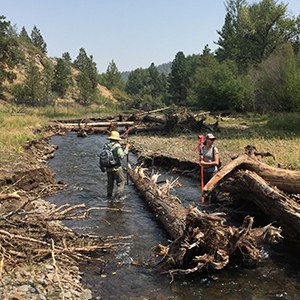
Creekside & Wetland Vegetation. This data goes hand-in-hand with the information collected about groundwater depth. The types of shrubs, grasses, and flowers that grow next to creeks and in wetlands is different than the types that grow in drier areas. By looking at what kinds of plants and how many there are, we can see that the acres of creekside and wetland vegetation has grown from 23.47 acres before the restoration to 28.32 acres in 2019. In addition, there are 2.4 times more creekside and wetland plant species. This is beneficial to all sorts of wildlife, including deer, elk, beaver, butterflies, bees, and grasshoppers. This is another type of data that shows that the valley floor is more connected with Whychus Creek than it was before the restoration project.
Macroinvertebrates. Macroinvertebrates are animals that lack a backbone, are large enough to see without the use of a microscope, and spend at least some of their lives in and around water. Macroinvertebrates like the larvae of mayflies, stoneflies, and caddisflies have also shown an increase since the restoration was completed. Not only are they food for fish and birds, they are sometimes used to indicate water quality.
With this data, we can look at restoration methods and tools that worked and didn’t work in order to help inform our future restoration projects on Whychus Creek.
Thank you to the Upper Deschutes Watershed Council and to the Land Trust’s Jason Grant for helping with this blog post!
- The Importance of Meadows
- Whychus Canyon Preserve Creek Restoration
- Wood is Good: the Importance of Woody Debris in Streams