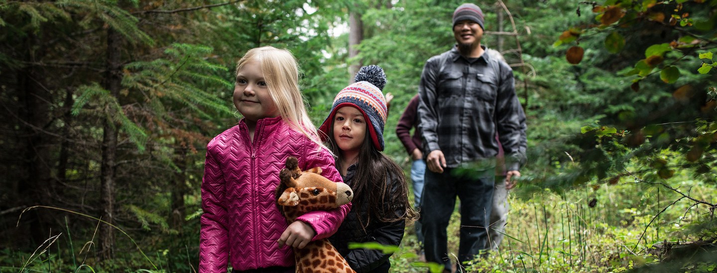
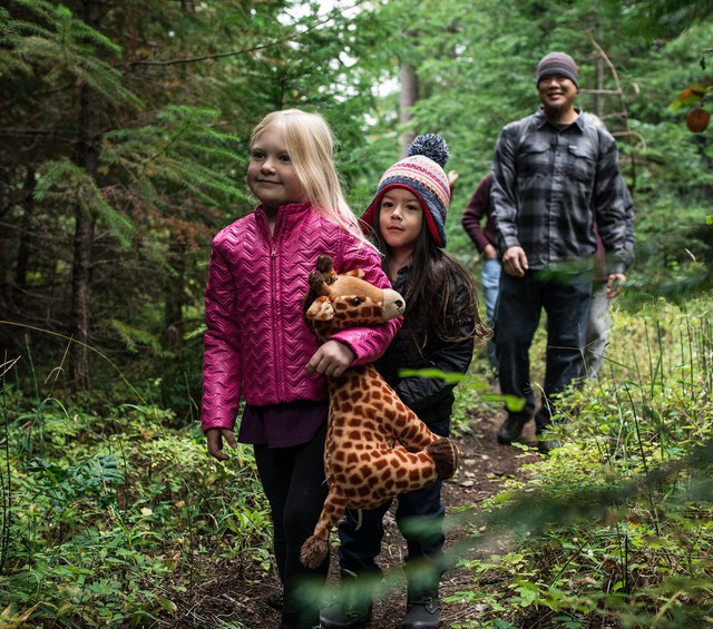
With towering pines and lush creekside corridors, the Metolius Preserve is a unique and beautiful Preserve nestled at the base of the Cascade mountains. The Preserve is home to several miles of Lake Creek, the rare Peck’s penstemon, beautiful western larch and vine maple trees, and 10+ miles of mostly flat, natural surface and loose gravel trails. With two trailheads to choose from, short and long loops, shady benches and viewing platforms, there are so many ways to experience the Metolius Preserve. Here are some ideas and a trail map to get you started:
Becky Johnson Interpretive Area Wander
Located at the South Trailhead, the Becky Johnson Interpretive Area has a covered kiosk, wooden benches, interpretive signs, and viewing platforms along Lake Creek. A short, mostly flat, loose gravel trail wanders through the forest with shady stops at creekside viewing platforms where you can learn about sockeye salmon, songbirds, and other wildlife of the Preserve. Trail details: 0.2 mile (one-way), mostly flat, wide (>36"), loose gravel trail.
Larch Trail Loop
This route takes visitors through one of the most diverse sections of the Metolius Preserve. Discover a unique combination of wetter plants and trees from the west side of the Cascades, along with drier eastern Cascade vegetation. Enjoy spectacular larch trees, lush creekside plants, soaring ponderosa pines, and summer wildflowers. This flat trail is a gorgeous spot for fall hiking as vine maples turn brilliant shades of red and orange and larch trees brighten to a sunny yellow before covering the forest floor.
From the North Trailhead, follow the trail south through the forest and along the North Fork of Lake Creek. You’ll come to a bridge after .25 mile. Cross the bridge and then take a left at the next trail junction. After .25 miles take a right and cross another bridge. Continue on this trail for another mile before coming to another trail junction. Turn right, then cross the Middle Fork of Lake Creek. The trail will then turn right and bring you back to your first trail junction. Take a left and then follow the trail back to the trailhead. Total details: 2.5 mile loop on mostly flat, natural surface trails of variable width (some portions <36", others >36" along old roads).
Metolius Preserve Grand Tour
Take in the beauty of the entire Metolius Preserve by hiking the majority of our trails in a series of lollipops. A georeferenced map and strong navigational skills are highly recommended! Starting at the North Trailhead, head south to follow the Larch Trails. Enjoy the peaceful North Fork of Lake Creek and stop to relax at a bench nearby. Continue on the Larch Trail loop to the east and south until a junction with the trail headed to the Fir Trails. Once you arrive at the Fir Trails, take the eastern side of the loop. Proceed on to the Pine Trails, keeping an eye (and ear) out for white-headed woodpeckers. You’ll automatically loop at the very end, then take the lollipop back up to the Fir Trails. This time, follow the western side of the loop. Bracken fern line the trail along this quiet forest. Enjoy a viewing platform on the South Fork of Lake Creek and an interpretive sign sharing the story of sockeye salmon. Once you’ve arrived back at the junction with the Larch Trails, take the trail to the next junction, head left, and follow the trail back to the North Trailhead. Congratulations, you’ve done the grand tour! Trail details: 8.65 mile loop on natural surface trails of variable width (some portions <36", others >36" along old roads). Some small elevation gain/loss.
Fir Trail Loop
A nicely shaded and cool option on a hot summer day, this loop offers a nice variety of rolling terrain. In the fall, pass through golden bracken ferns blanketing the forest floor. From the South Trailhead, follow trails to the left along the south bank of the creek. After crossing the entrance road, you’ll reach your first trail junction. Take a right and hike up the rolling terrain. After .4 miles, you’ll hit another trail junction. Keep straight/right, then take a left at the next trail junction, remaining on the Fir Trails. You’ll arrive at another junction after .4 miles. Take a right and follow the trail to the next junction. Here you’ll take a right and follow signs back to the trailhead. Total details: 2.4 mile loop on predominately natural surface/gravel trails of variable width (some portions <36", others >36" along old roads). Some small elevation gain/loss.
Learn more:
- Other Land Trust Community Preserve suggested routes
- Metolius Preserve information, including driving directions and maps