At the Land Trust office, we’ve dubbed May to be “Puffy Cloud Month.” In honor of these beautiful clouds, we’ve put together a cloud guide to help you identify what you see in the sky.
But first, we’d like to share a little history. The British amateur meteorologist Luke Howard first published his cloud classification system in the early 1800s. His system became popular due to its Latin-based names and its recognition that clouds are constantly changing. Our current system is based on Howard's classifications.
Clouds are classified by altitude and shape. The different classifications based on altitude are:
- Low-level clouds: those under 6,500 feet.
- Mid-level clouds (also known as alto): found between 6,500 feet and 23,000 feet.
- High-level clouds (also known as cirro): above 16,500 feet.
When looking at the shapes of clouds, learning the Latin words can be helpful. Here are some loose definitions:
- Cumulus: heaped or puffy
- Stratus (Latin: stratum): spread out, covering large portions of the sky, flat
- Cirrus: wispy, feathered
- Nimbus/Nimbo: rain-bearing
Since clouds are in continuous flux, photos can show one type of cloud morphing into another type of cloud. I hope the images provided are considered helpful, however.
There are 10 main types of clouds:
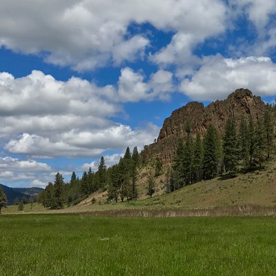
- Cumulus clouds are detached from one another. You can clearly see the tops of the clouds.
- Cumulus clouds are made of water droplets and formed by thermal air currents. They constantly change size and shape. They are your classic clouds that you make up shapes for.
Altocumulus
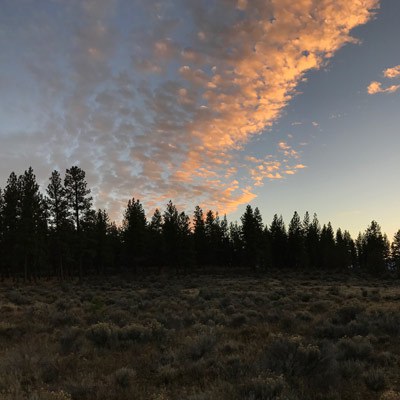
- Altocumulus clouds tend to be small puffy clouds that are clustered together
- Altocumulus clouds are made of water droplets and some ice crystals. They can be a sign of rain on the way or they can break up and it can become sunny.
- Cirrocumulus clouds are very high in the sky and white. Sometimes they have a ripple pattern. They also can look like lots of tiny puffs clustered together. Sometimes they are referred to as a mackerel sky because their texture is similar in appearance to a mackerel.
- Cirrocumulus clouds are made of ice crystals. They tend to form on cold days.
Stratus
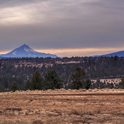
- Stratus clouds are low in the sky and appear uniformly without features. They tend to be gray. Fog and mist are types of Stratus clouds.
- Stratus clouds are made up of water droplets. They produce overcast, sometimes drizzling rain weather.
Stratocumulus
- Stratocumulus clouds are grey and puffy. They are located low in the sky and are close together. They tend to cover most of the sky.
- Stratocumulus clouds are composed of water droplets. They signal that the weather is either becoming overcast or the weather is clearing. They are formed by the spreading of Cumulus clouds or the breaking up of Stratus clouds.
- Altostratus clouds are gray or blue-gray and are located in the middle layer of the sky. They tend to look smooth and cover most of the sky. No shadows are cast with altostratus clouds in the sky and the sun is blurry/not defined.
- Altostratus clouds are a mix of ice crystals and water droplets.
Cirrostratus
- Cirrostratus clouds are high up and look like a veil covering the sky. It can produce a halo around the sky. If you’re having trouble determining if it is a Cirrostratus, a helpful tip is to look for your shadow – if you can see your shadow, the cloud will be a Cirrostratus instead of an Altostratus.
- Cirrostratus clouds are made of ice crystals. You can expect rain within the next 24 hours when you see cirrostratus clouds.
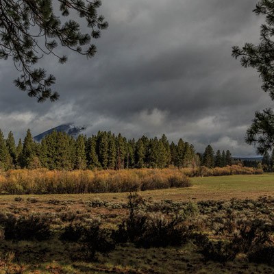
- Nimbostratus clouds are dark gray and cover most of the sky. It’s difficult to see the bottoms of the cloud. It could be raining steadily from nimbostratus clouds.
- Nimbostratus clouds are formed by water droplets. They bring prolonged and continuous rain or snow, but do not produce rainbows, hail, or lightning.
Cumulonimbus
- Cumulonimbus clouds have a dark base and tower up into the sky. They are classic thunderstorm clouds. They can produce rainbows and sudden showers, as well as tornadoes.
- Cumulonimbus clouds are made from water droplets and ice crystals.
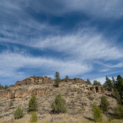
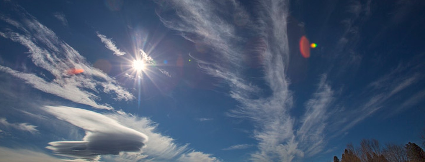
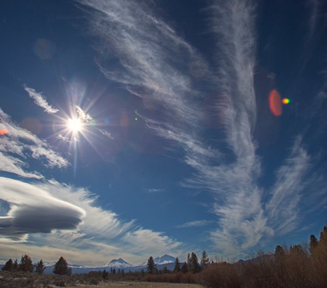
- Cirrus clouds are bright white and high up in the sky. They are wispy.
- Cirrus clouds are made from falling ice crystals. They generally indicate fair weather, but are also the first sign of a warm front coming, which means a change in the weather.
Happy cloud gazing!
Resources:
NASA Students' Cloud Observations On-Line Project
World Meteorological Organization