One of the questions I often get asked as a Stewardship Associate with the Land Trust is “What is your role in the organization?” Or put more eloquently, "What is your role in protecting and caring for the lands that you conserve?" My answer, albeit slightly different each time, always involves talking about monitoring in some capacity.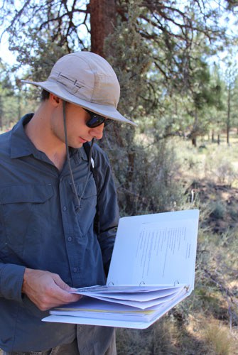
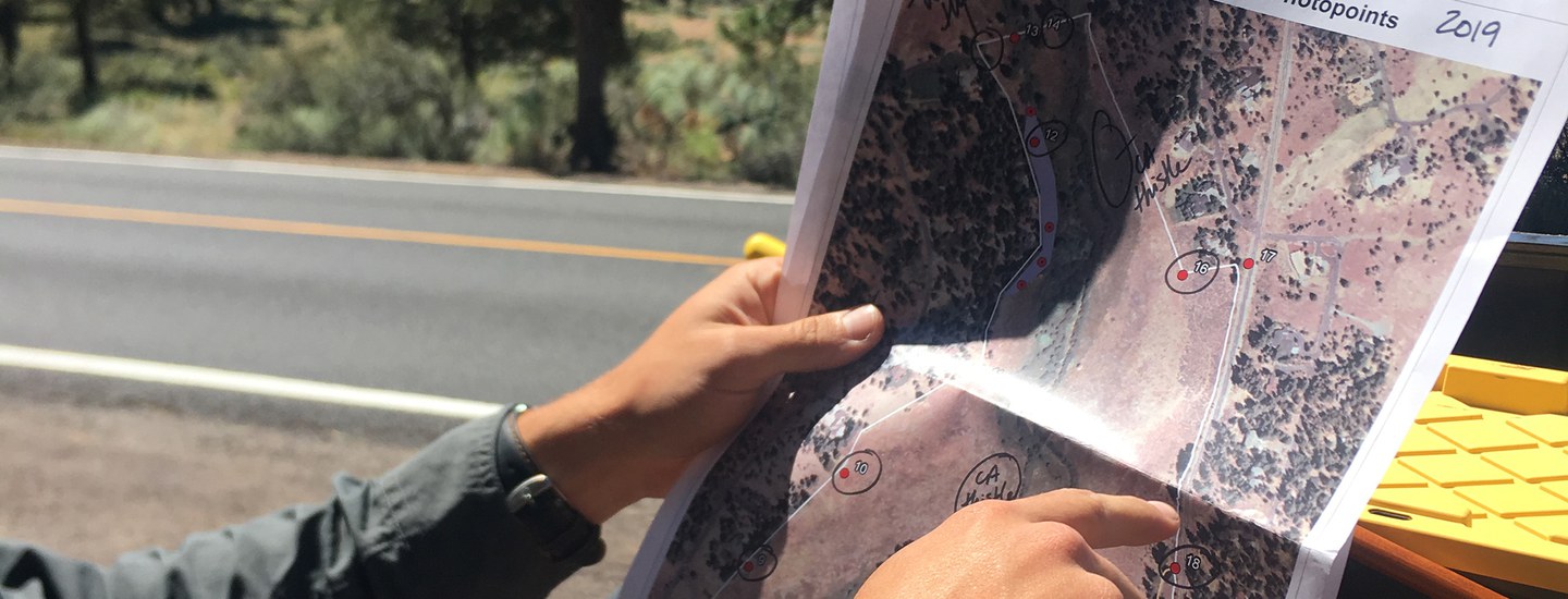
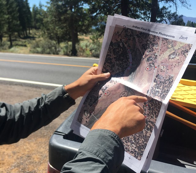
Depending on the property, formal monitoring is either conducted annually (all properties where we hold a land protection agreement, or conservation easement) or every other year (all Land Trust Preserves). Before heading into the field, it is important to do some background research about the property which may entail reading over a management plan, looking at previous years’ monitoring reports, refamiliarizing yourself with the terms of a conservation easement, or studying maps of the area to ensure that you’re oriented and know what to keep an eye out for. Some properties also require us to reach out to the landowners or partner agencies to let them know when we will be doing the monitoring and invite them to join, if interested. Once the pre-field work has been completed, it’s almost game time. But first, you must amass the materials needed to be a successful property monitor. This includes, but is not limited to, an iPad with Avenza Maps, GPS device, relevant maps, and a field monitoring notebook. After all the gear is packed, it’s time to pile into a truck and head out into the field.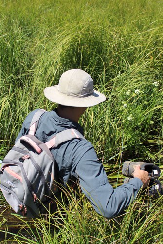
Compiling all the photos and information into a condensed report is a good way to summarize what the current state of the property is and what needs to be done in the future. The final report is sent out to the appropriate landowners and conservation partners, and saved for future reference internally.
The task of stewarding thousands of acres of conservation properties would be impossible without eyes and feet on the ground. Property monitoring is crucial to upholding the mission and vision of our Land Trust and ensuring that our conserved lands are in the best condition possible. As technology changes, so to will the process of monitoring. In particular, the use of drones to collect aerial imagery will be a valuable tool when assessing land from a bird’s eye view. Stay tuned!
Learn more: