Welcome to Cool Words for Hot Times, an ongoing series in which we’ll unpack and break down the jargon-riddled world of climate change. Today, we take a look at connectivity.
Imagine this: it’s a summer day and you’re at Smith Rock State Park soaking in the glory. The morning starts out cool and clear, but as afternoon approaches, things are heating up quickly. By 2pm, with temperatures above 100ºF and the hot sun beating down on you at the base of Misery Ridge, you realize you don’t have enough water, food, or sunscreen to stay out much longer. You need to cool off and hydrate, so you decide that, for your own safety, it’s time to leave.
You make your way back toward the parking lot, but as you get to the Crooked River crossing, you realize the bridge has collapsed after years without proper maintenance. Your car, park headquarters, and the sweet relief of the water fountain are all in sight, but you’ve been physically cut off—disconnected—from these critical resources. Even though what you need absolutely exists, you can’t get there without endangering your own life or traveling significantly further than normal in extreme conditions, during which time you might seriously hurt yourself.
This hypothetical, rather terrifying scenario would leave you with the morbid and limited options of moving, adapting, or dying. These three possibilities, it turns out, also represent the main long-term options for species encountering the increased stresses caused by climate change.
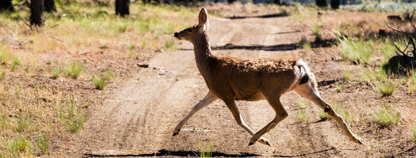
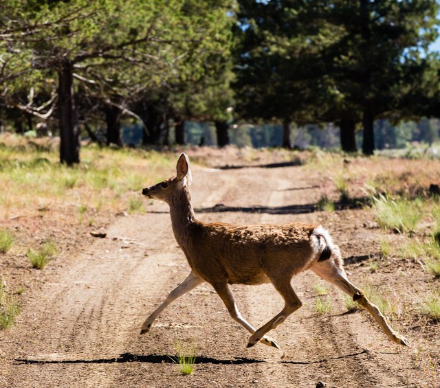
In the Smith Rock scenario, the danger occurs due to a lack of connectivity (caused by a collapsed bridge) between you and an area containing the resources you need to survive—namely, food, water, and sun protection. Similarly, human activity—such as building roads, developing neighborhoods, clear-cutting forests, etc.—disconnects wildlife habitats, cutting species off from what they need to survive. As climate change intensifies, species may need to move farther and faster to find the kinds of food and homes they’re accustomed to, but they will also need well-connected land in order to make it to these resources.
Climate change accelerates the rate at which species must move, adapt, or die—the typical animal responses to environmental change—and at the Land Trust, we’re most interested in helping species with the first two options. To review, adaptation is any action that increases the likelihood of species’ success in the face of climate change. This includes species themselves adapting (a key component of evolution) and human actions that help people, wildlife, and/or natural systems withstand the impacts of climate change. Maintaining and improving connectivity is one crucial form of climate change adaptation—an immensely valuable tool in a suite of possible local efforts that the Land Trust can implement.
So what the heck is connectivity? It’s truly as simple as it sounds: connectivity is the extent to which one part of a landscape is connected to another, or the extent to which a “pathway” exists for getting from one place to another. Put differently, it’s a way to measure the ability (or inability) of species to move across a landscape.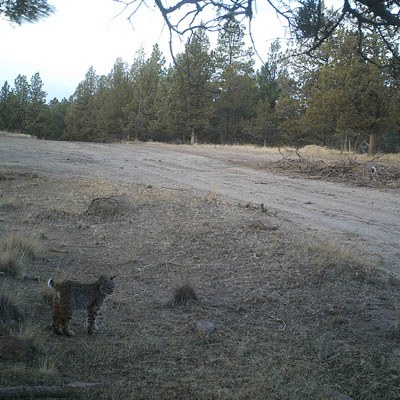
It’s not just a matter of connected or not connected, though. Certain areas allow animals to move easily in any direction, while other areas have barriers to movement or full-on bottlenecks. When we think about conserving land, we’re increasingly interested in protecting well-connected areas while doing what we can in places where species may face more migration and adaptation obstacles. We also have to think about the scale of connectivity and movement different species need. In some cases, species may only require connectivity across a small area to find the resources they need. In other cases, animals must travel much farther to reach suitable habitats or to carry out their typical migrations. Functionally, this looks like the differences between being able to move around the Metolius Preserve, being able to move between Skyline Forest and Alder Springs, and being able to travel from the southern Cascades to the Ochoco Mountains.
Luckily, the Land Trust is not alone in prioritizing connectivity. Other organizations and agencies, including the Oregon Department of Fish and Wildlife, have been working toward well-connected landscapes and habitats for a long time, and these efforts are ramping up as the need for well-managed climate change adaptation increases.
You, too, can help out as we seek ways to maintain and improve large-scale connectivity in Central Oregon! By staying on trails, respecting plants and wildlife, and leaving natural systems as you find them, we can collectively reduce the kind of habitat damage that prevents species from successfully moving and adapting in the face of climate change.
Learn More:
- Check out the Deschutes Land Trust Climate Change Commitment
- Being Better Stewards for Land and Wildlife